Another set of photographs portraying something of the landscape of Somerset.
The Quantocks are a small, narrow range of hills which follow the north Somerset coastline from Williton north to Bridgwater.
On the very ridge of them, heading west from the Triscombe Stone, a Saxon Army route, or ‘herepath’, known as King Alfred’s Way, allegedly marks his route to resist the Viking invasion in the 9th century. Known also as The Drove Road, the route was well-used by local farmers moving cattle and sheep to the market in Taunton.
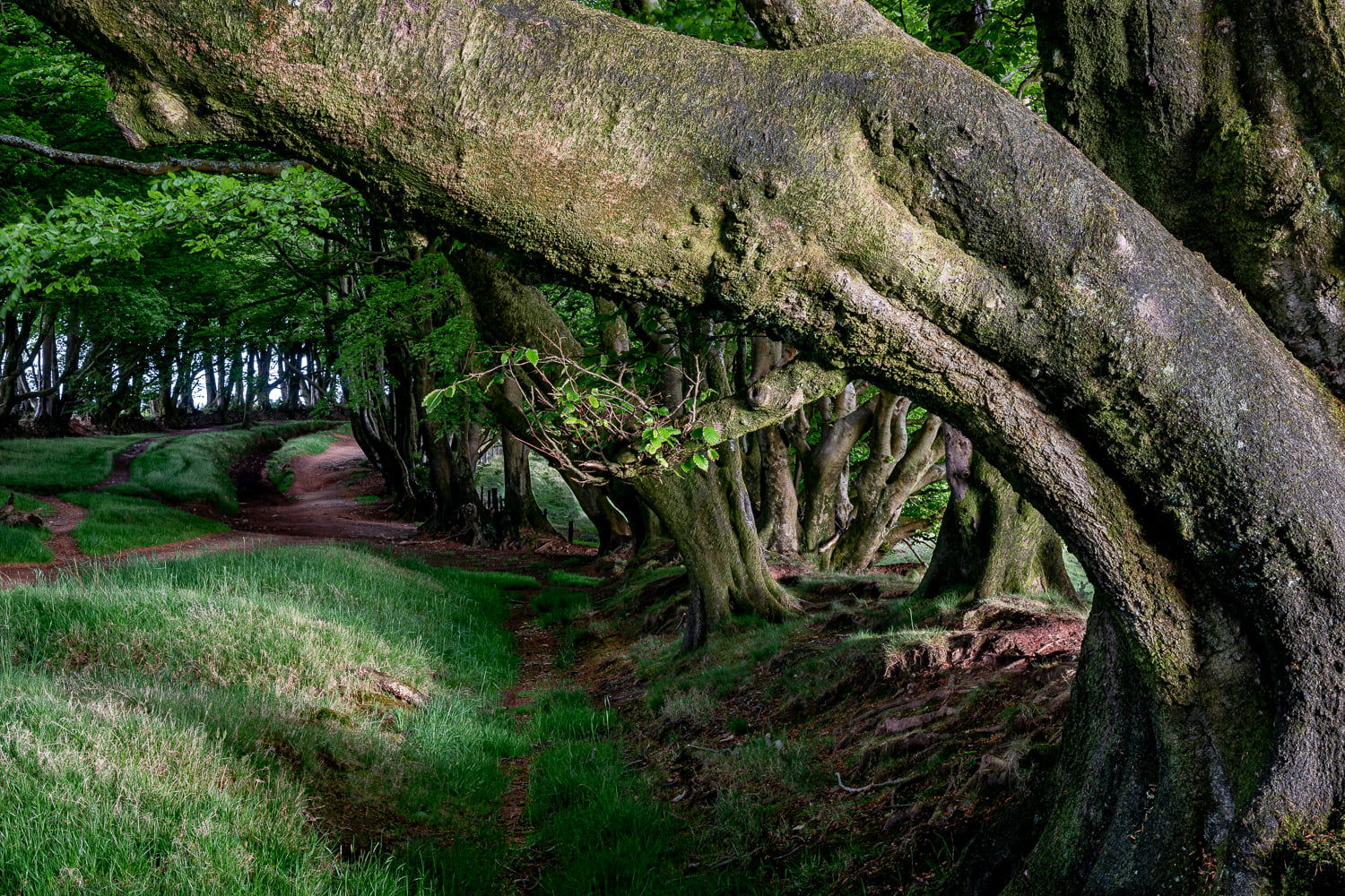
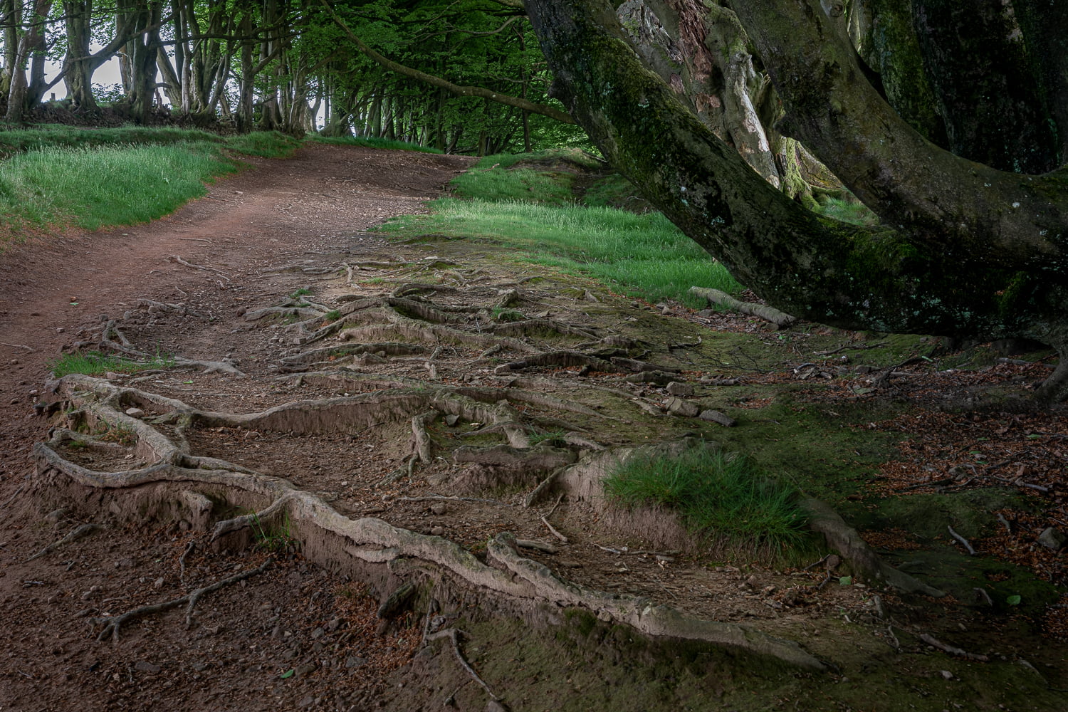
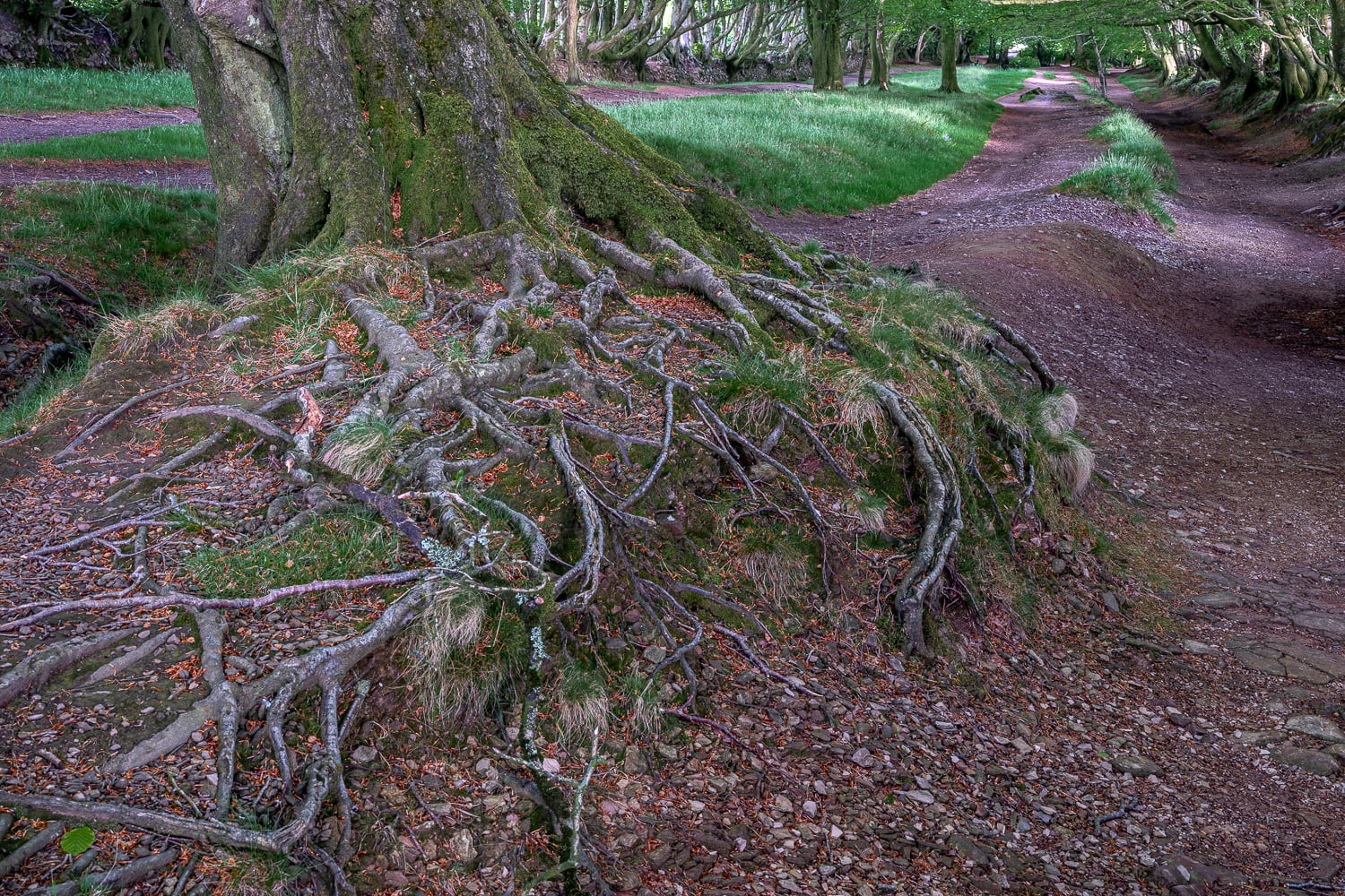
“The road ambles along the ridge for several miles. Thousands of years of use have carved the route into the landscape, with the road sinking almost six-feet deep into the earth in places.
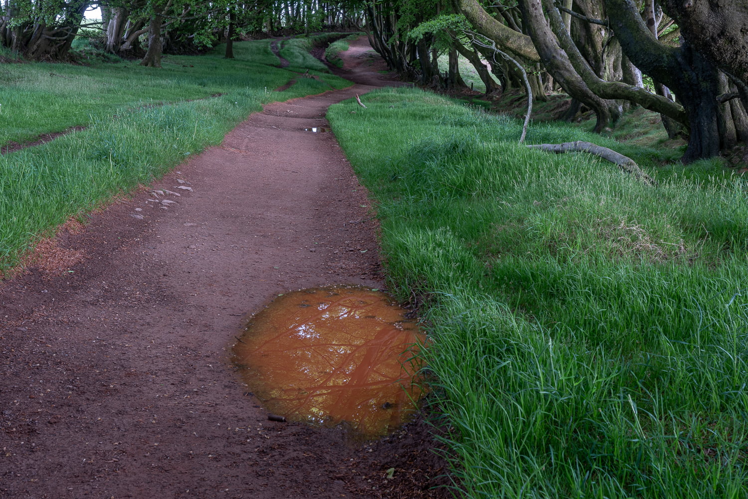
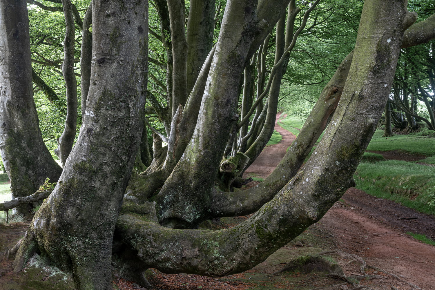
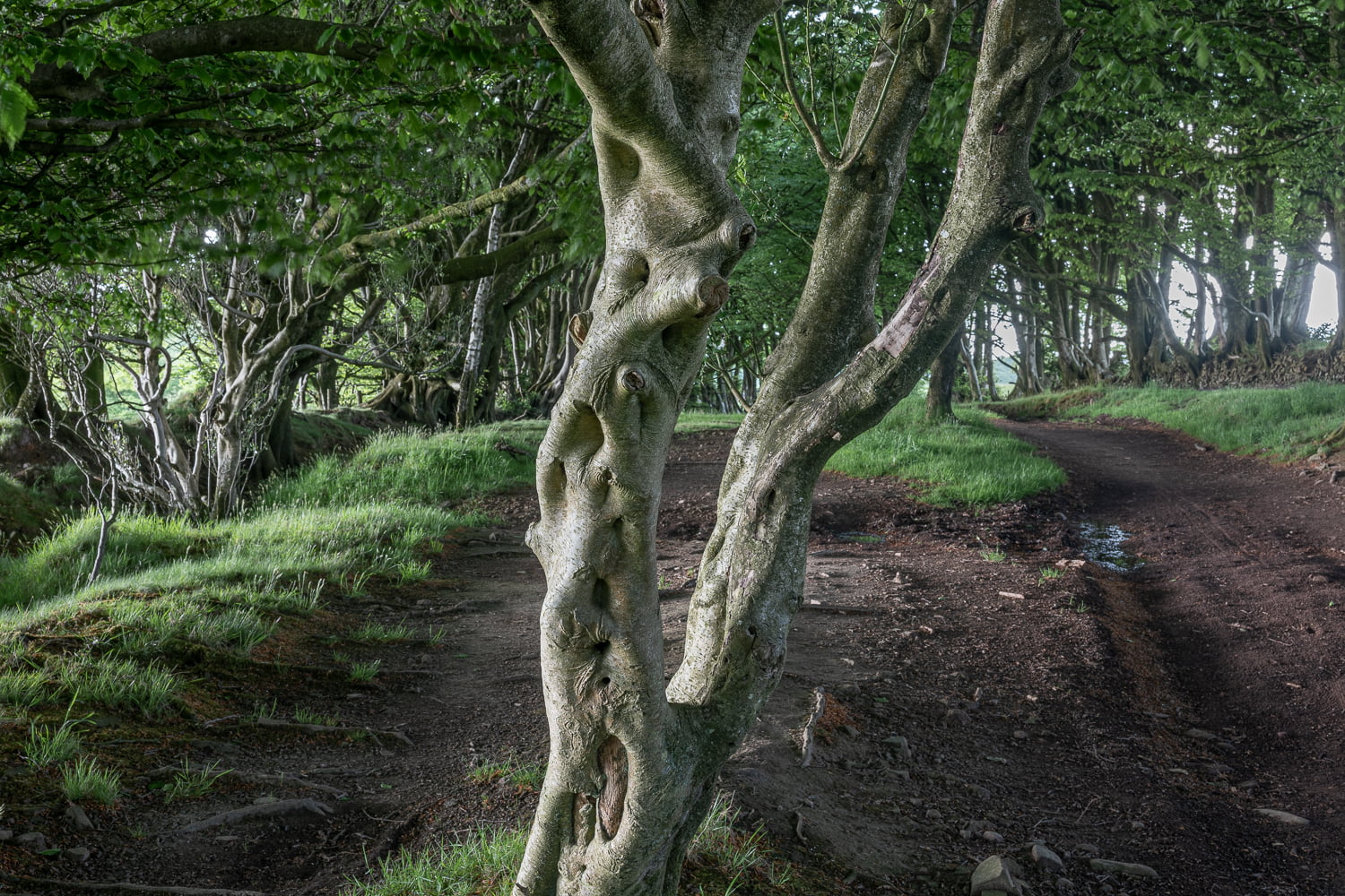
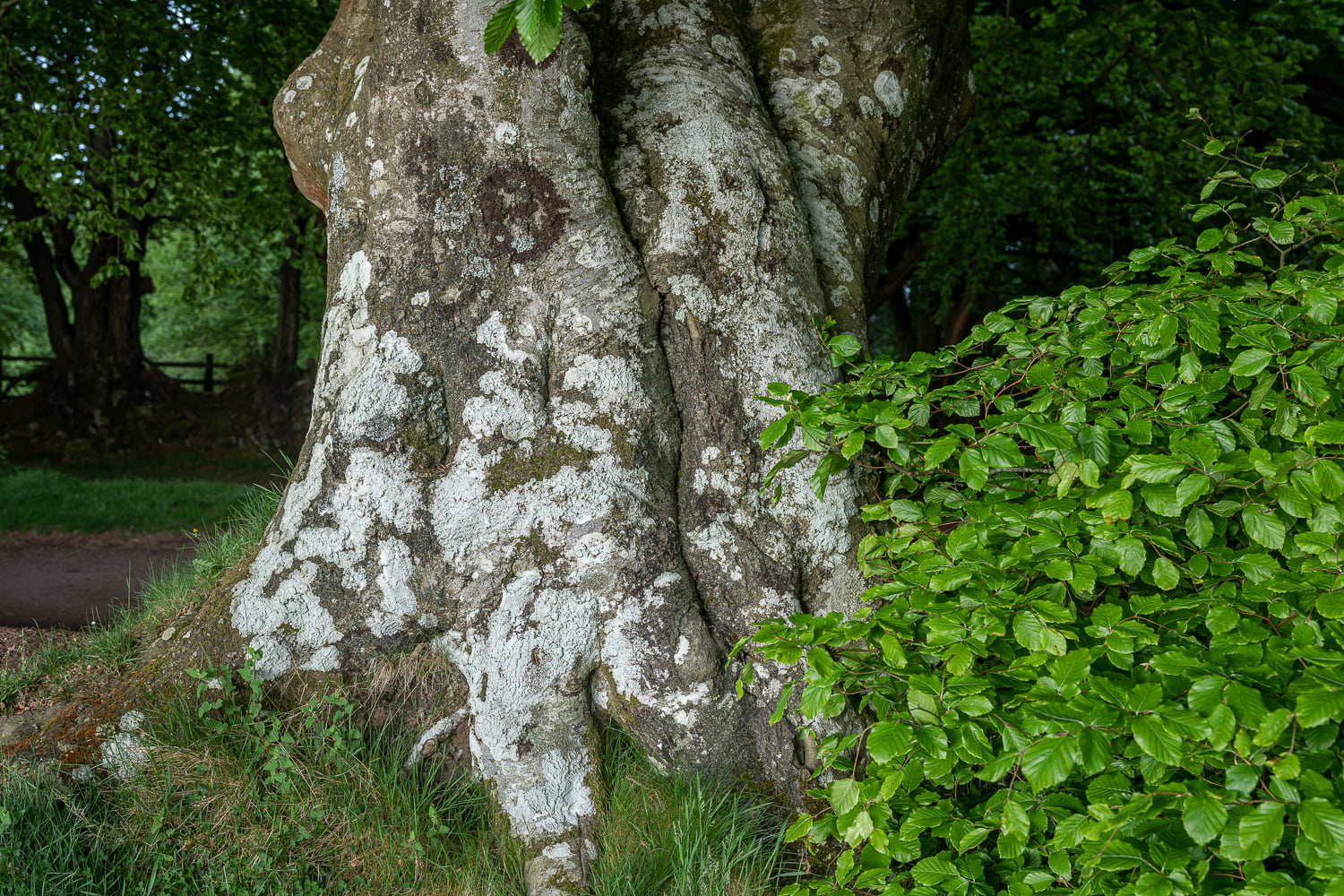
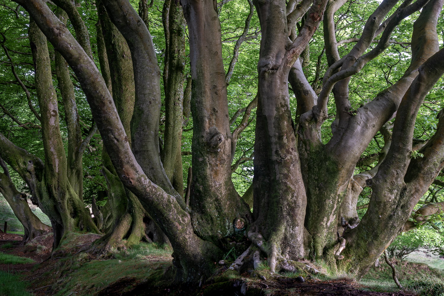
While the tops of these hills were cleared in Neolithic times for grazing, the road is lined with a unique avenue of hedgebanks. Made from banks or walls – sometimes four-feet high – and topped with beech trees, these hedgebanks were frequently used in Devon and Somerset to mark boundaries.
Walking south-eastwards from the Triscombe Stone, the landscape opens out into heathland, surrounded by the trill of skylarks. You will soon reach Wills Neck – the highest point in the Quantocks at 384m – and on a clear day you can spy the avenue of hedgebanks snaking their way along the hills, as well as enjoy panoramic views across to Wales and Exmoor”.
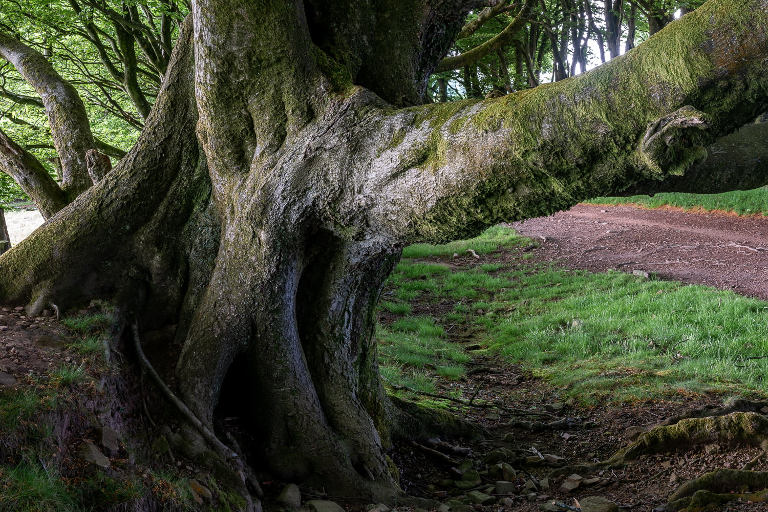
The beech trees provide marvellous entertainment as evening light gently illuminates both the trees and the path across the ridge of the central Quantock Hills, and the trees magically transform into ‘dancing trees’.
https://www.countryfile.com/go-outdoors/days-out/triscombe-stone-and-the-drove-road-somerset/